Bremnestua

Bremnestuva
Bremnestua
Bremnestua
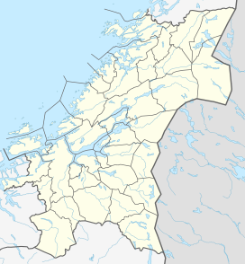
Location of the mountain
Show map of Trøndelag
Bremnestuva
Bremnestua
Bremnestua
Bremnestuva
Bremnestua (Norway)
Show map of NorwayBremnestua (Norway)
Bremnestuva or Bremnestua is a small mountain in the municipality of Frøya in Trøndelag county, Norway. The 74-metre (243 ft) tall mountain lies on the northwest side of the island of Frøya. There is a road to the top of the mountain where there is a water tank, a mobile telephone tower, and a great view.[2]
Bremnestuva is located about 8 kilometres (5.0 mi) northwest of the municipal center of Sistranda, about 8 kilometres (5.0 mi) northeast of the village of Storhallaren, and about 10 kilometres (6.2 mi) southwest of the village of Svellingen. Bremnestuva is just a few meters lower than the highest point of Frøya which is the 76-metre (249 ft) tall Besselvassheia.
References
- v
- t
- e


