Barp Gewog
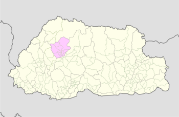
Gewog in Punakha District, Bhutan
Barp Gewog བརཔ་ | |
|---|---|
Gewog | |
 | |
| Country |  Bhutan Bhutan |
| District | Punakha District |
| Government | |
| • Type | LG |
| Area | |
| • Total | 24.65 km2 (9.52 sq mi) |
| Elevation | 1,400 - 1,800 m (−4,500 ft) |
| Time zone | UTC+6 (BTT) |
Barp Gewog (Dzongkha: བརཔ་) is a gewog (village block) of Punakha District, Bhutan.[1]
References
- ^ "Chiwogs in Punakha" (PDF). Election Commission, Government of Bhutan. 2011. Archived from the original (PDF) on 2011-10-02. Retrieved 2011-07-28.
- v
- t
- e
Village groups (gewogs) of Bhutan
Bhutan Zone
| Dagana District |
|
|---|---|
| Gasa District | |
| Punakha District | |
| Tsirang District | |
| Wangdue Phodrang District |

Bhutan Zone
| Bumthang District | |
|---|---|
| Sarpang District | |
| Trongsa District | |
| Zhemgang District |
Bhutan Zone
| Chukha District | |
|---|---|
| Haa District | |
| Paro District | |
| Samtse District | |
| Thimphu District |
Bhutan Zone
| Lhuntse District | |
|---|---|
| Mongar District | |
| Pemagatshel District | |
| Samdrup Jongkhar District | |
| Trashigang District | |
| Trashiyangtse District |
| Dagana District | |
|---|---|
| Chukha District | |
| Pemagatshel District | |
| Samtse District | |
| Sarpang District | |
| Thimphu District | |
| Tsirang District | |
| Samdrup Jongkhar District |
 | This Bhutan location article is a stub. You can help Wikipedia by expanding it. |
- v
- t
- e


